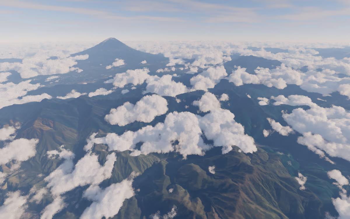
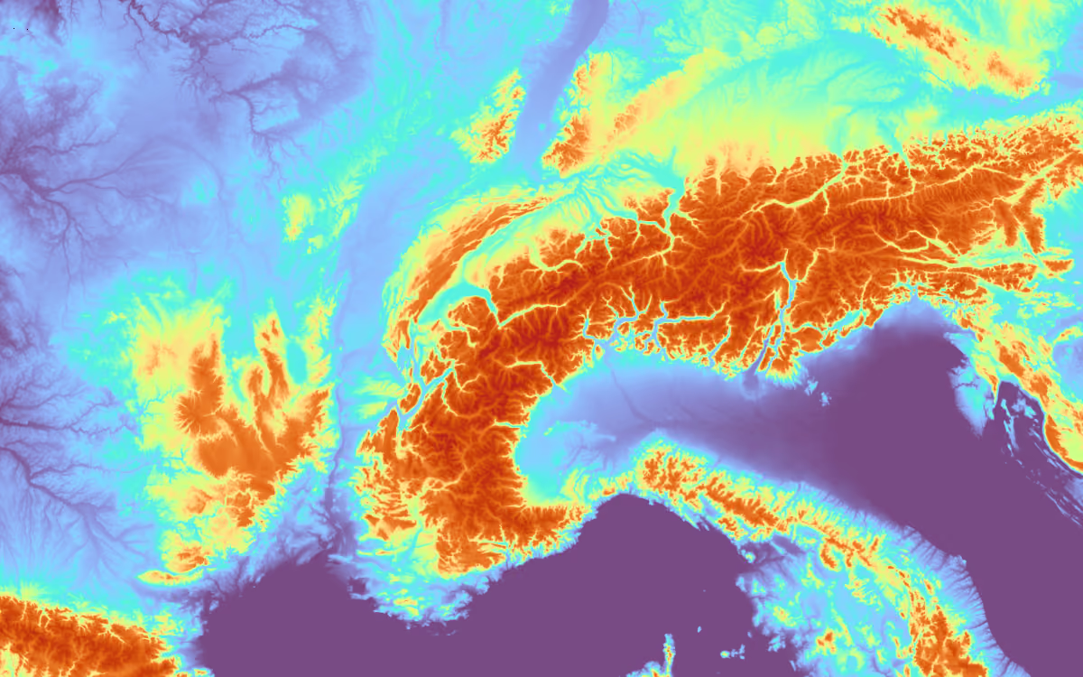
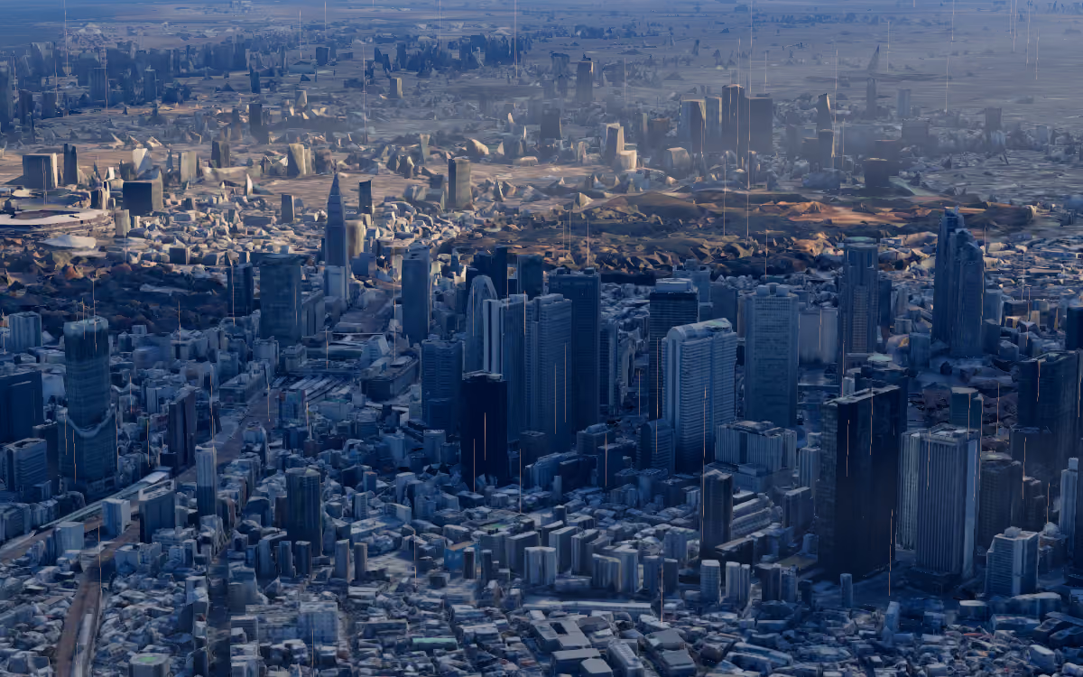
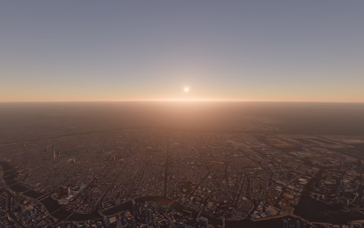
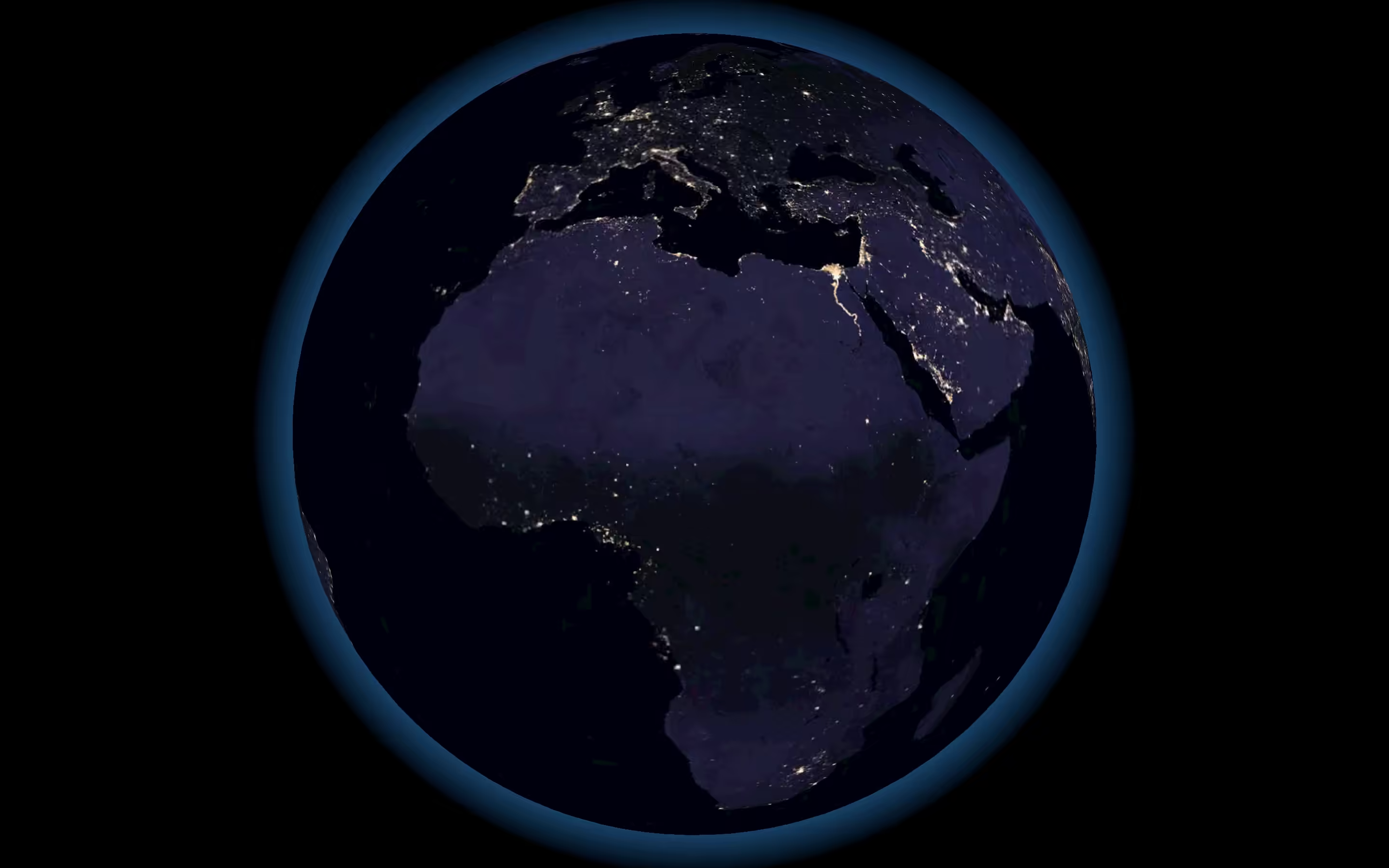
- Sentinel-2 cloudless 2020 by EOX IT Services GmbH (contains modified Copernicus Sentinel data 2020)
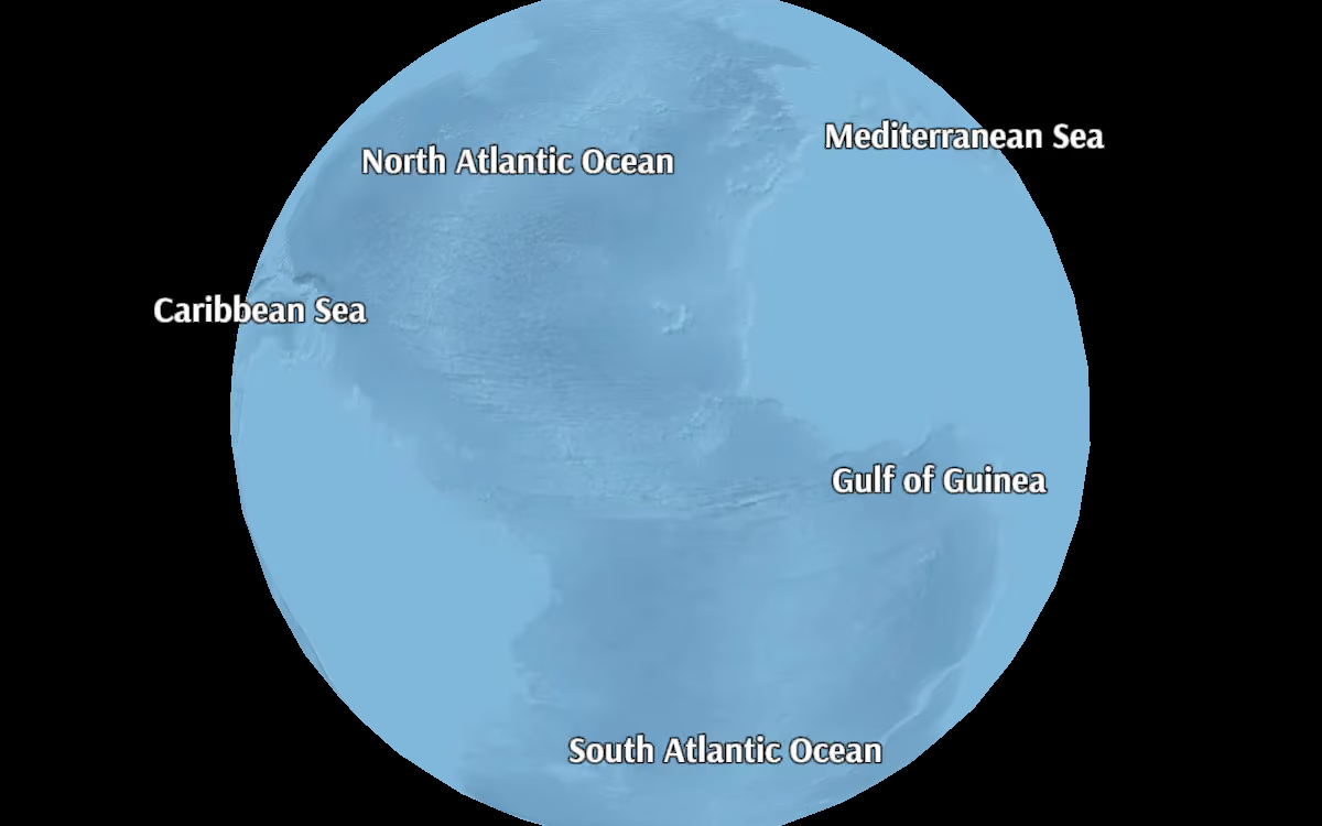
- NASA Blue Marble Clouds (converted as raster tiles)
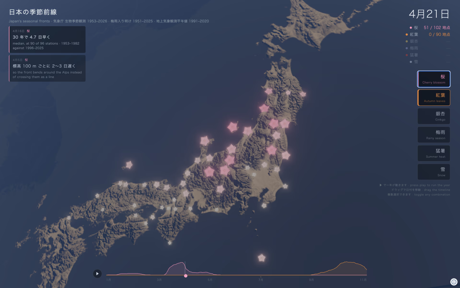
- Re:Earth Terrain

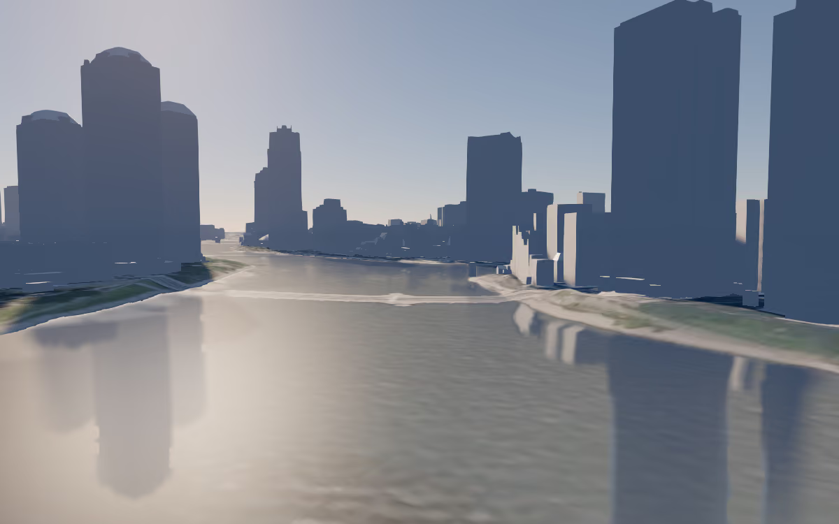
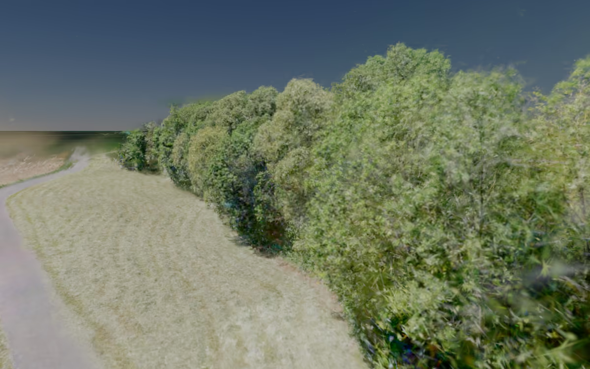
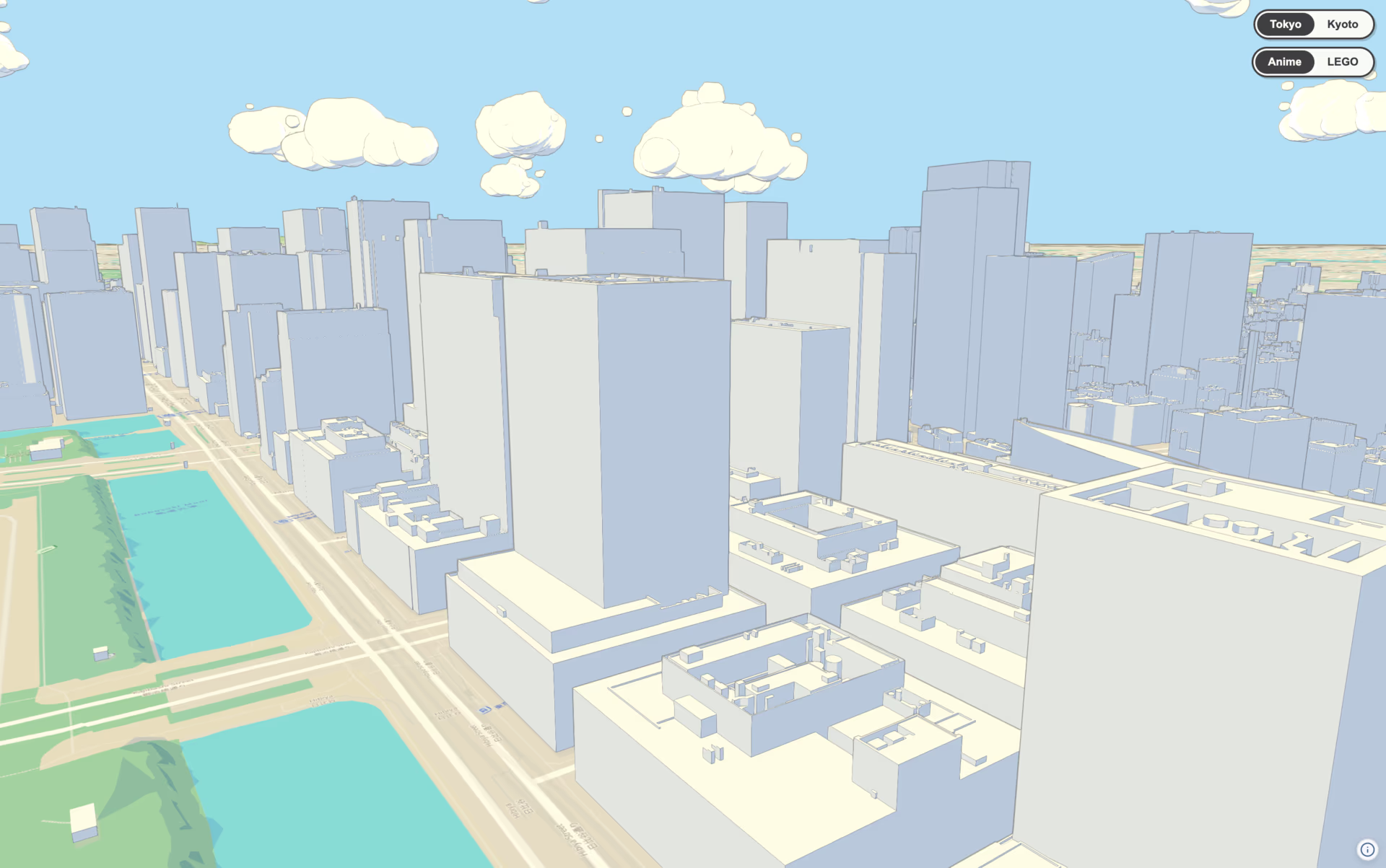
- Google Maps Photorealistic 3D Tiles
- Map data ©2026 Google
- Landsat / Copernicus
- Data SIO, NOAA, U.S. Navy, NGA, GEBCO
- Airbus
The beautiful globe,
without the complexity.
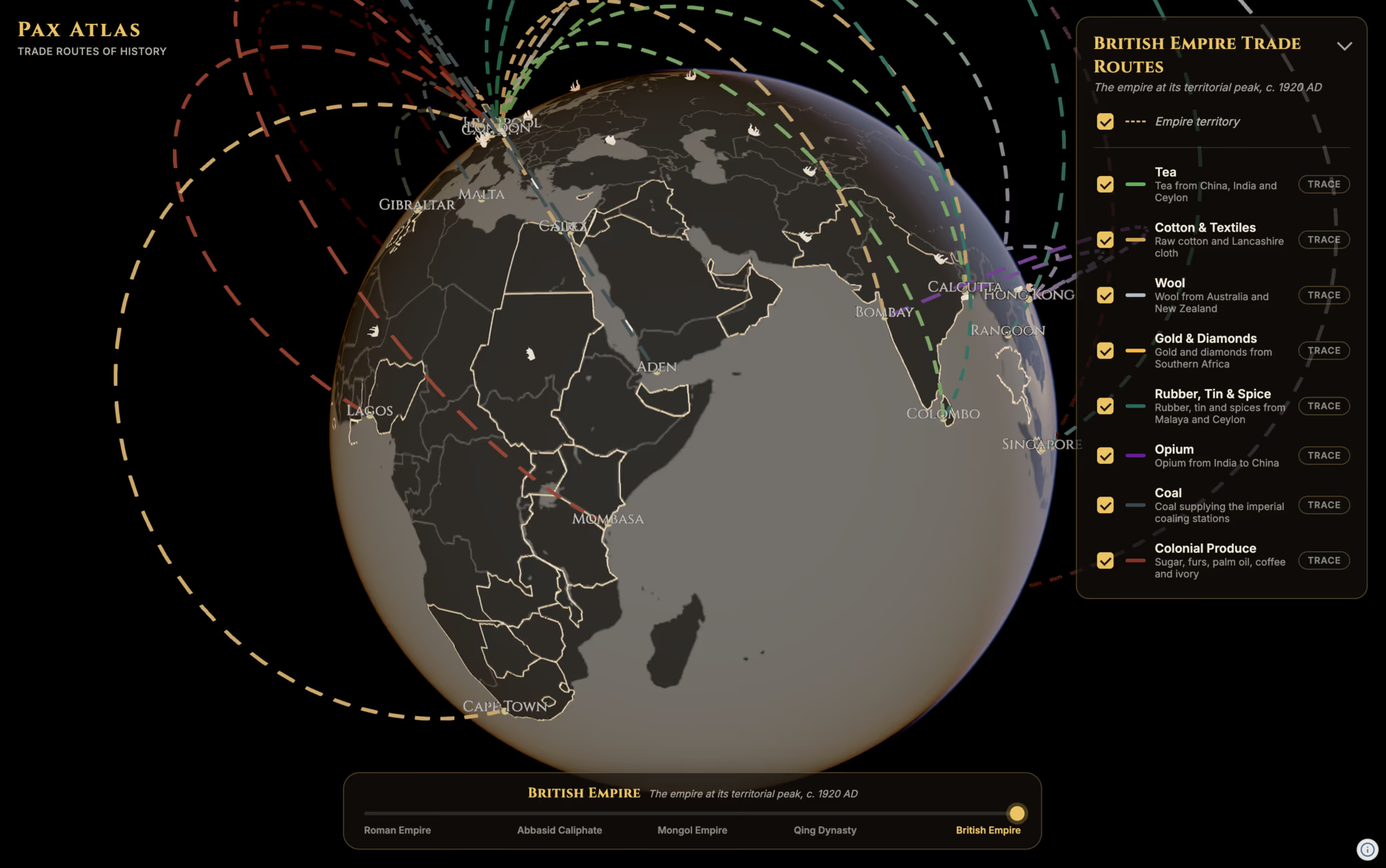
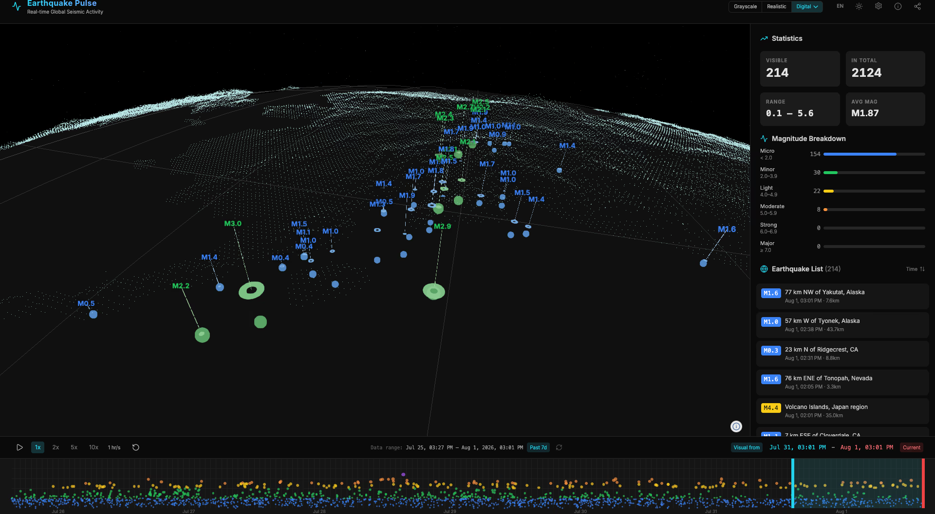
Navara is a highly extensible 3D map engine. Load a wide range of GIS data, from satellite imagery and terrain to 3D city models and vector data, then freely layer your own visualizations on top. Start with declarative styling, add advanced features with plugins, and go further with custom representations tailored to your application's needs.
WHY NAVARA
Complexity, made simple
and beautiful.
High quality, instantly
Create beautiful scenes with just a few lines of code.
Yours to control
Fine-tune a wide range of effects down to the smallest detail.
Extending is just the start
A flexible foundation for building, extending, and reusing your own visualizations.
Built to last
A renderer-agnostic architecture powered by Rust and WebAssembly, with WebGPU and native support planned.
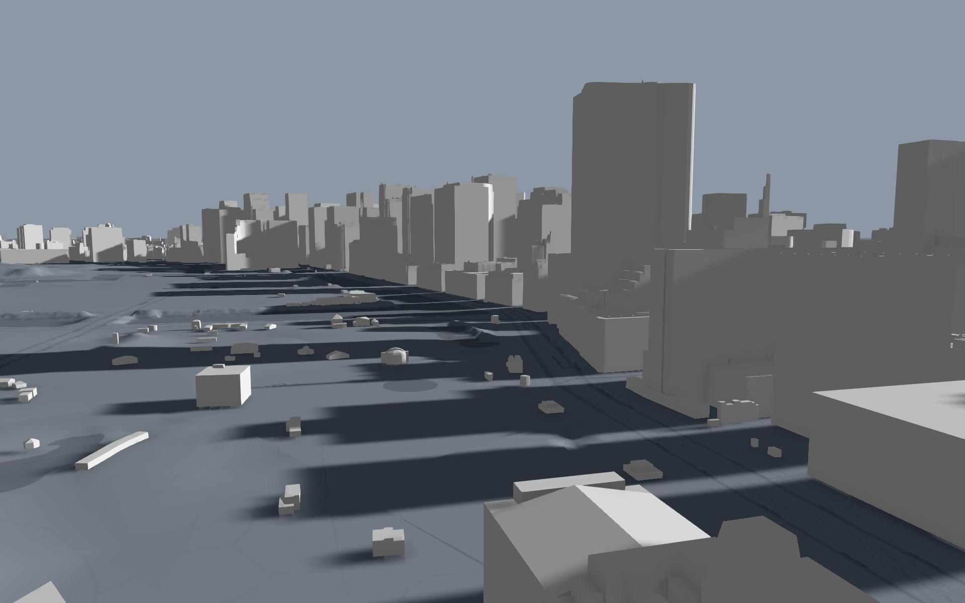
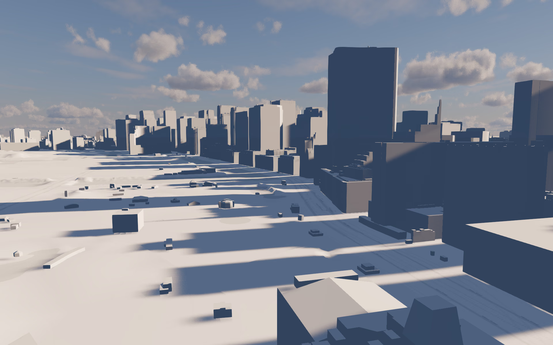
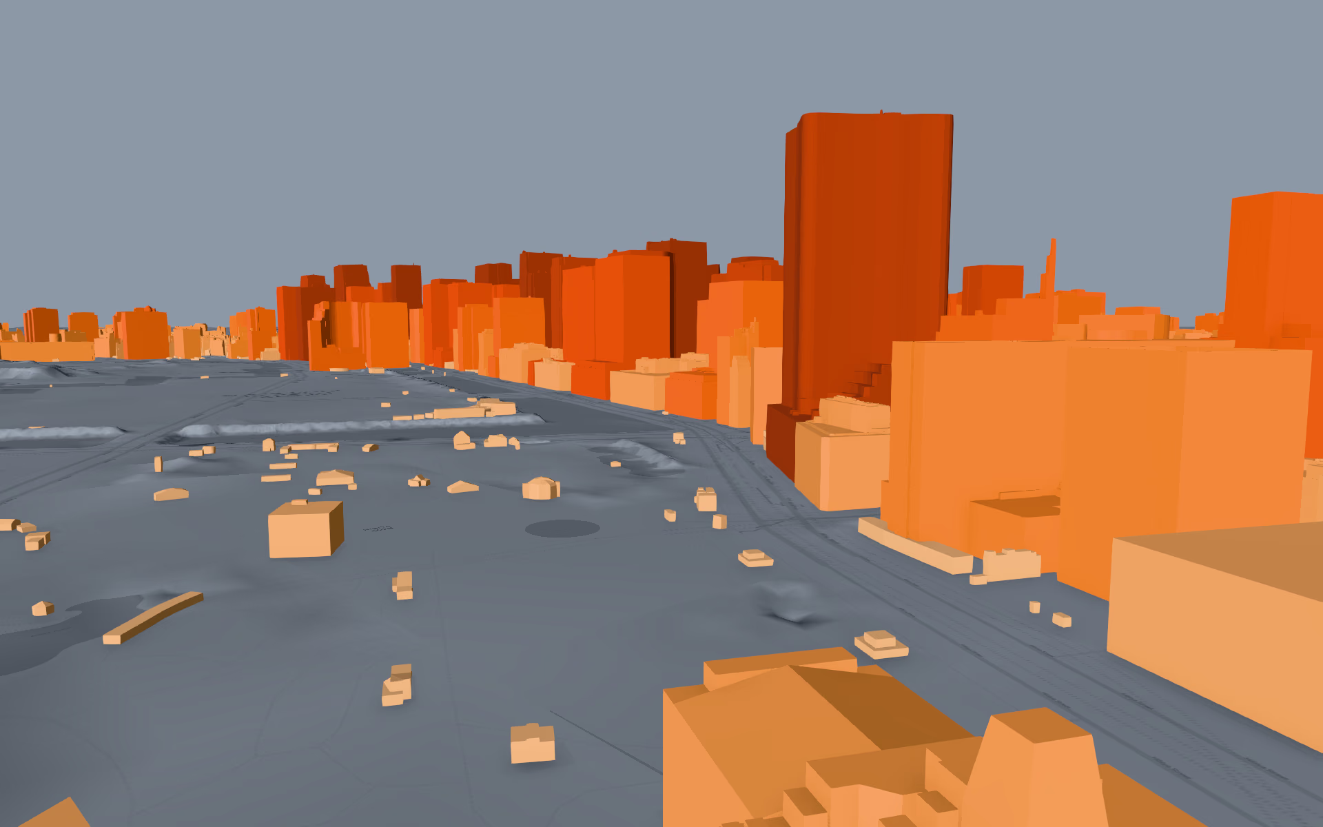
Declarative and extensible.
Extend it your way with plugins, APIs, and shaders.
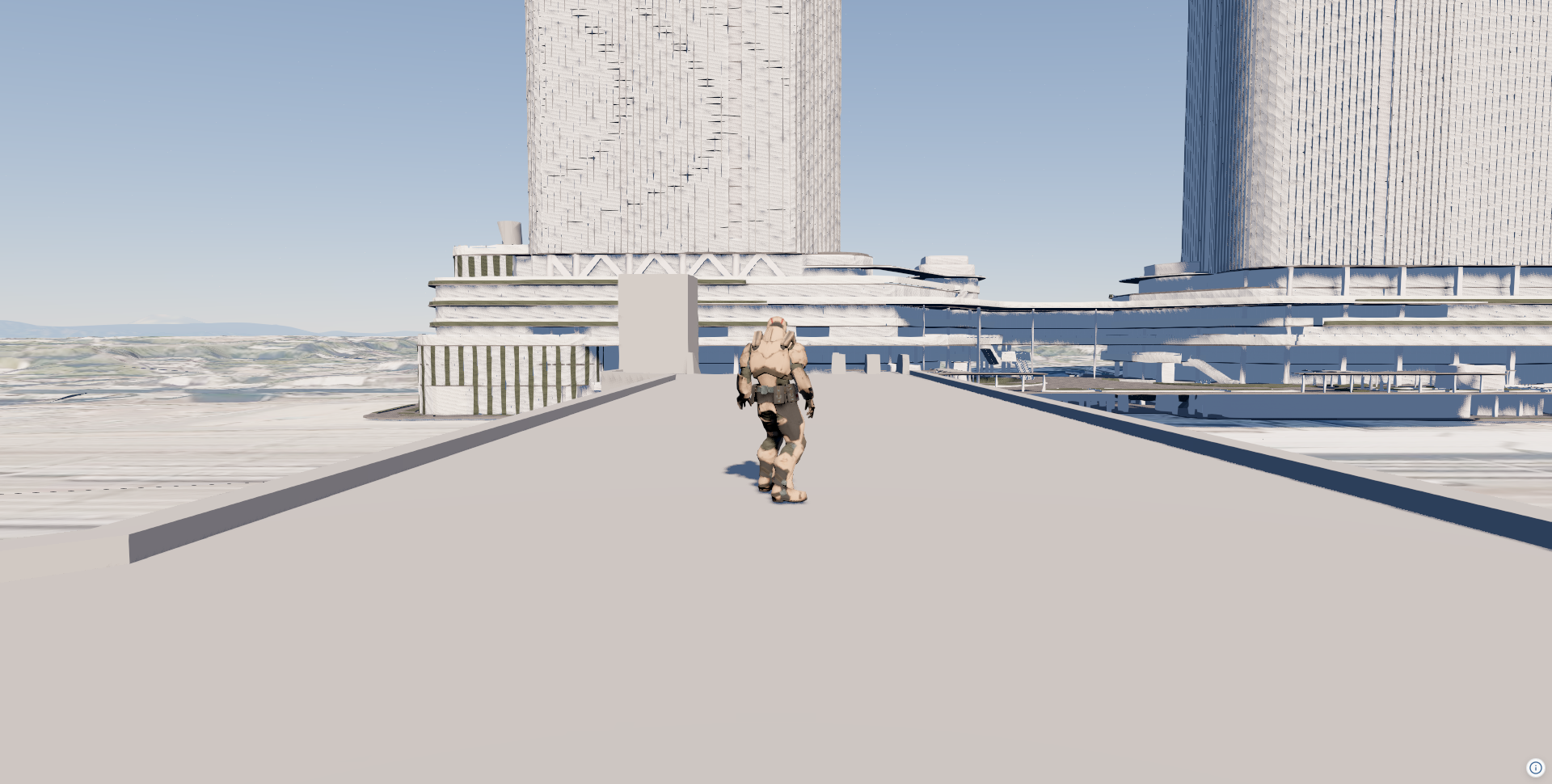
DeclarativeAdd 3D Tiles, terrain, and a basemap declaratively.
Declare layers and materials as config objects to visualize GIS data.
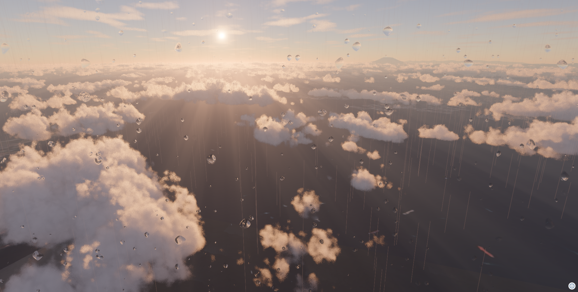
PluginUse DefaultPlugin to add atmosphere, sun, clouds, and shadows all at once.
Add purpose-built features as plugins with ease, and reuse complex functionality.
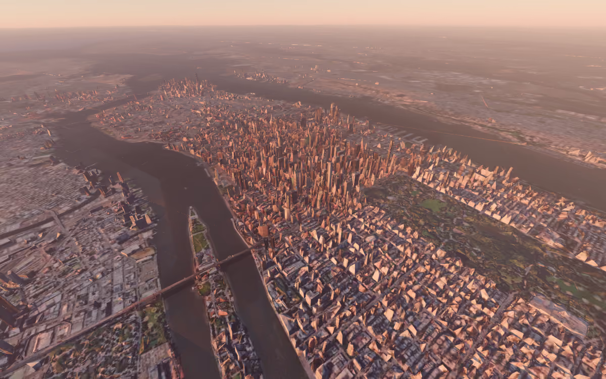
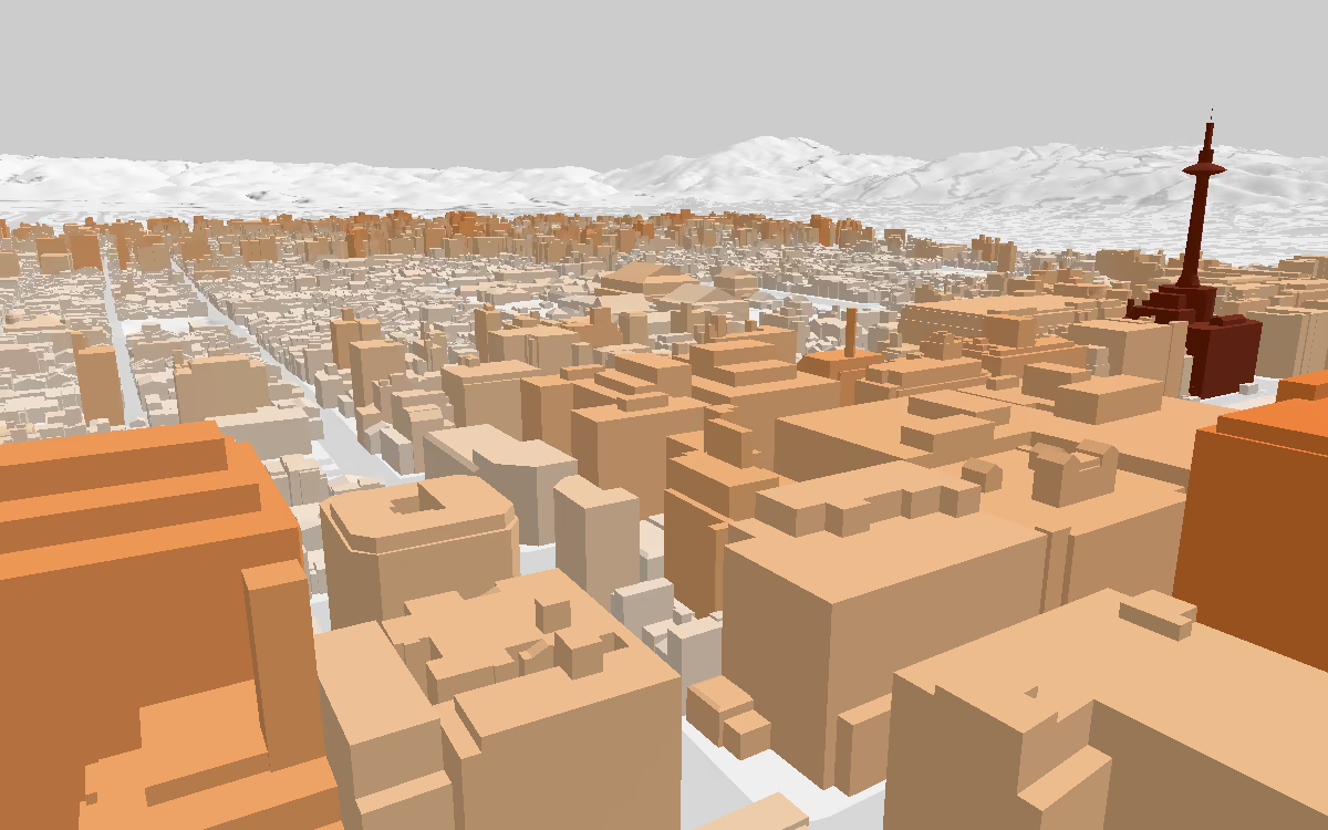
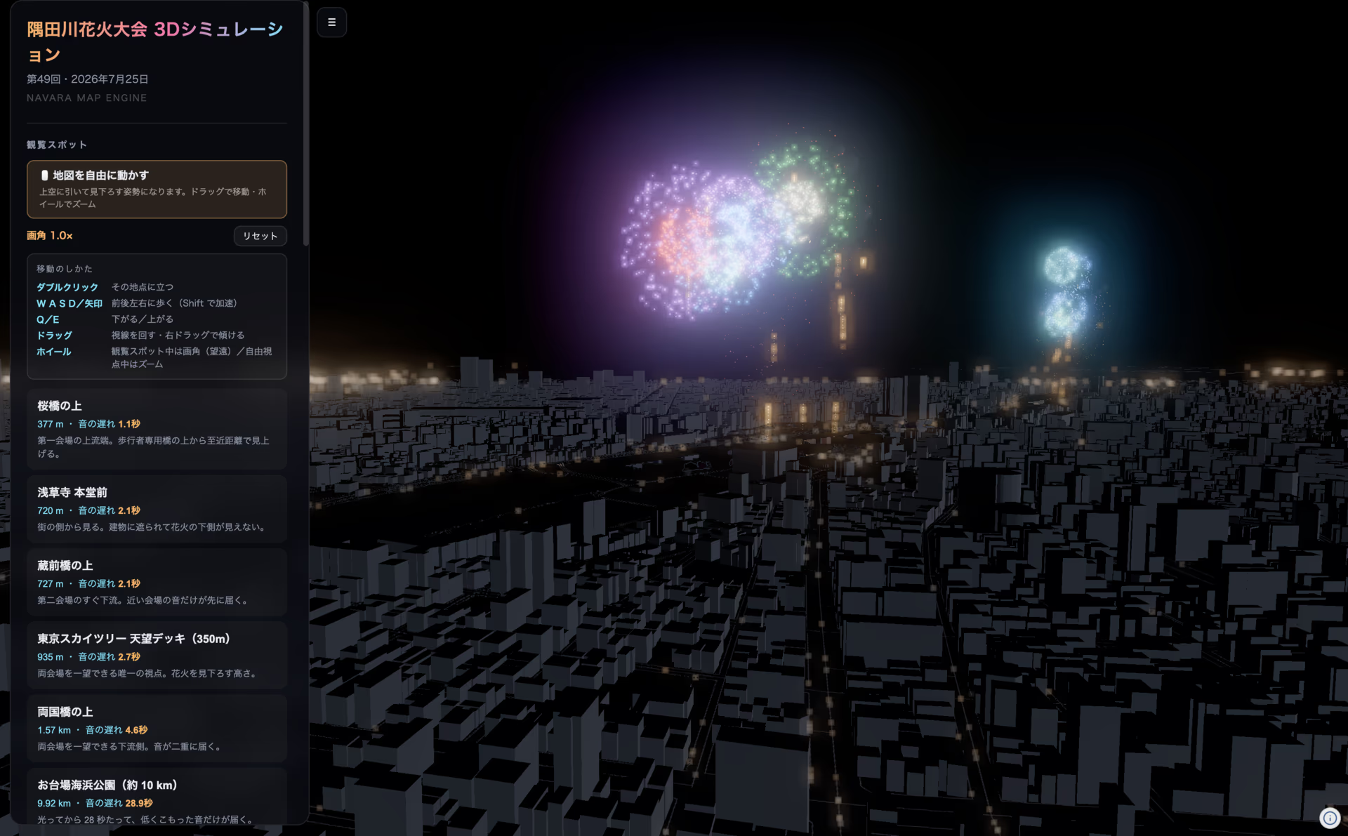
APIEvery building evaluated by measured height, colored per feature.
Flexibly drive feature evaluation, picking, geodesy, and camera control.
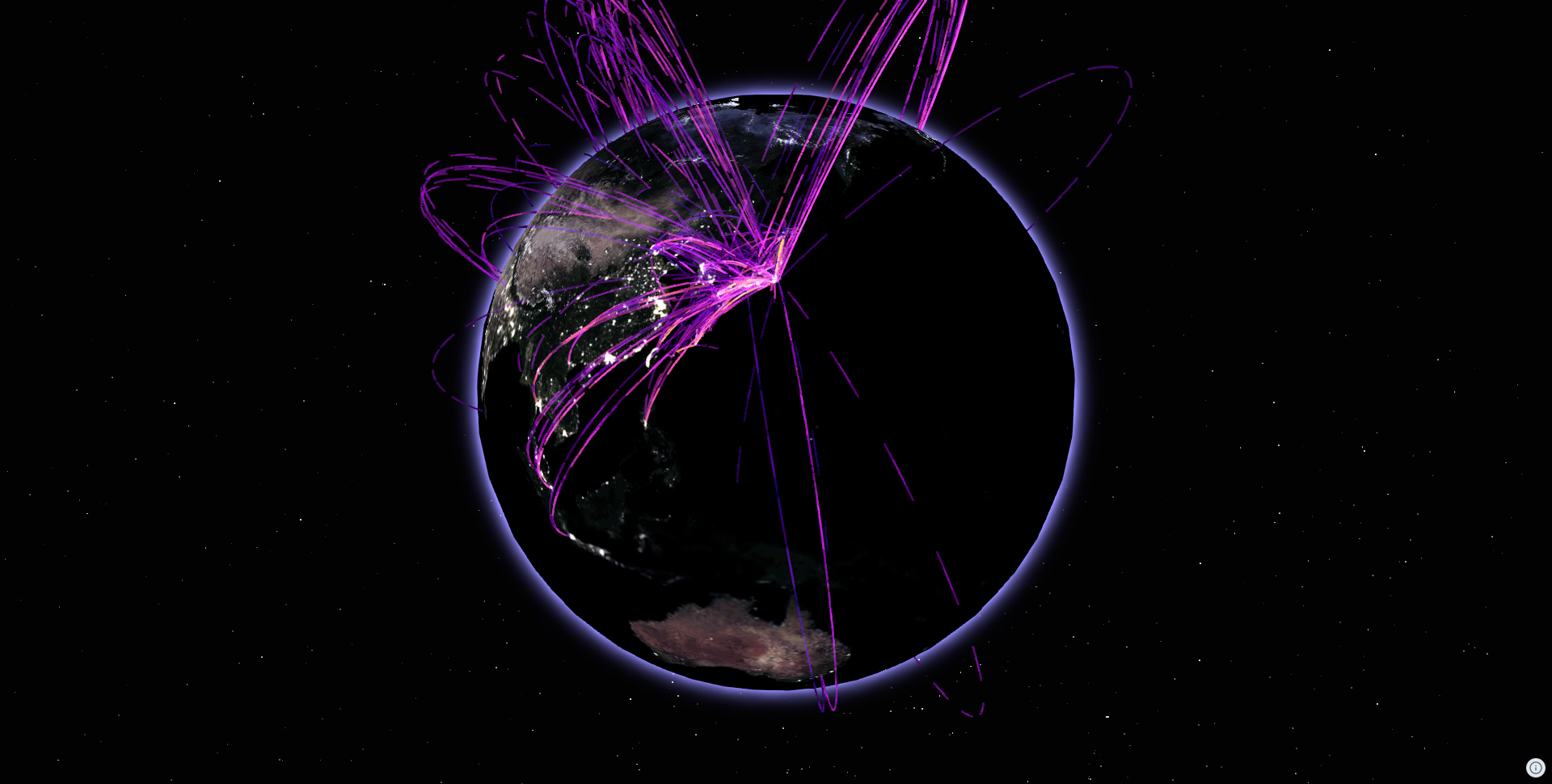
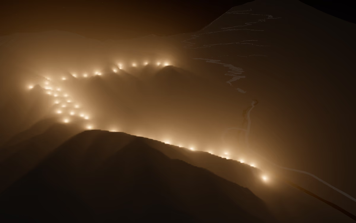
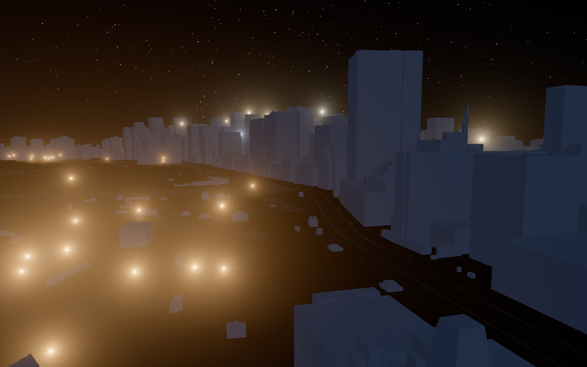
ShaderUse a FogLight shader to add a nighttime look.
Full access to Three.js for your own shaders and effects.
HELLO WORLD
A globe in a few lines of code.
// Initialization
const view = new ThreeView({ useNormal: true });
const defaultPlugin = new DefaultPlugin();
const tilejson = new TileJsonPlugin();
view.addPlugin(defaultPlugin);
view.addPlugin(tilejson);
await view.init();

// Setting up default atmosphere
defaultPlugin.addDefaultPhotorealScene();
view.atmosphere.date = new Date("2026-07-16T01:00:00Z");
view.toneMappingExposure = 10;

// Raster tile
const source = await tilejson.addSource({
  type: "raster-tile",
  url: "https://papers.reearth.land/bluemarble/tilejson.json",
});
view.addLayer({ type: "raster", source });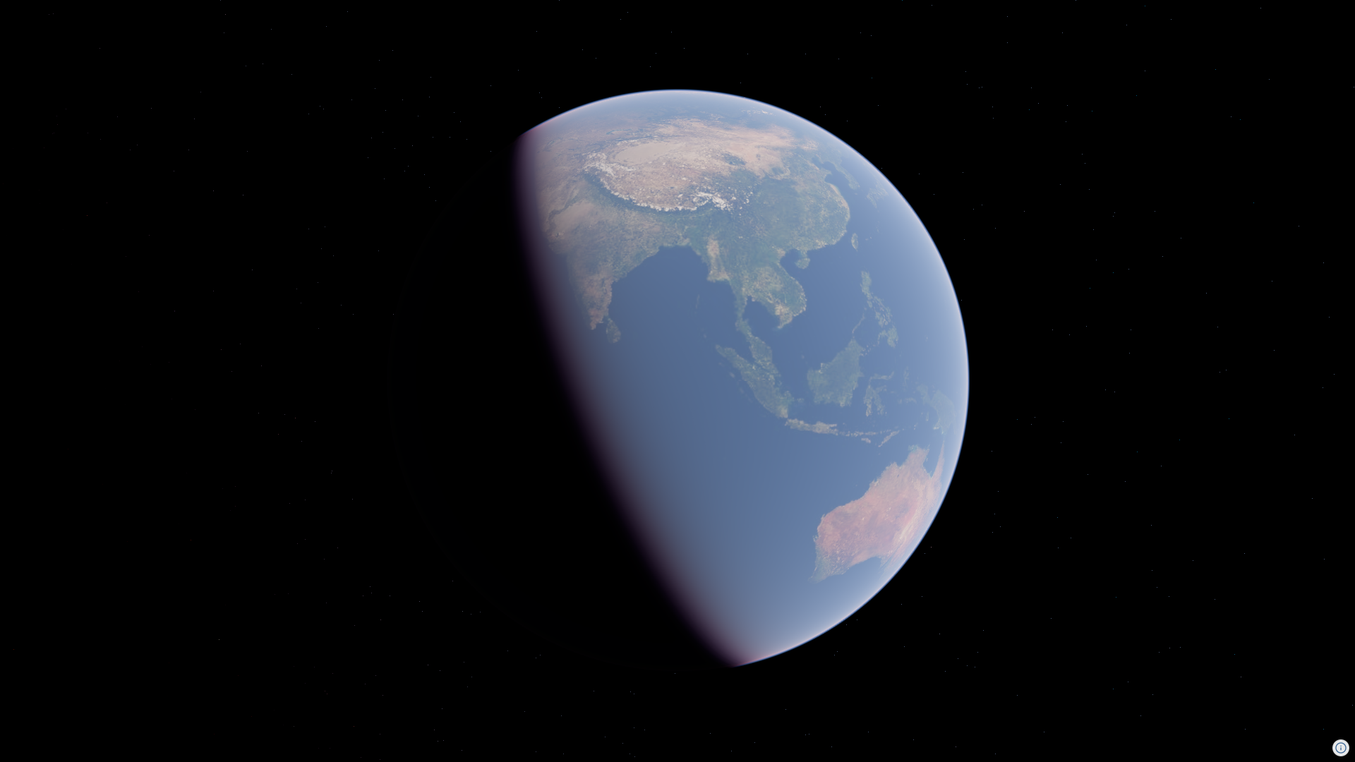
ARCHITECTURE
A headless GIS core,
independent of the rendering engine.
Rust / WASM
Data parsing, geometry construction, and more
Three.js and more
Geometry is drawn by the rendering engine
GALLERY
GIS that stands as a picture.